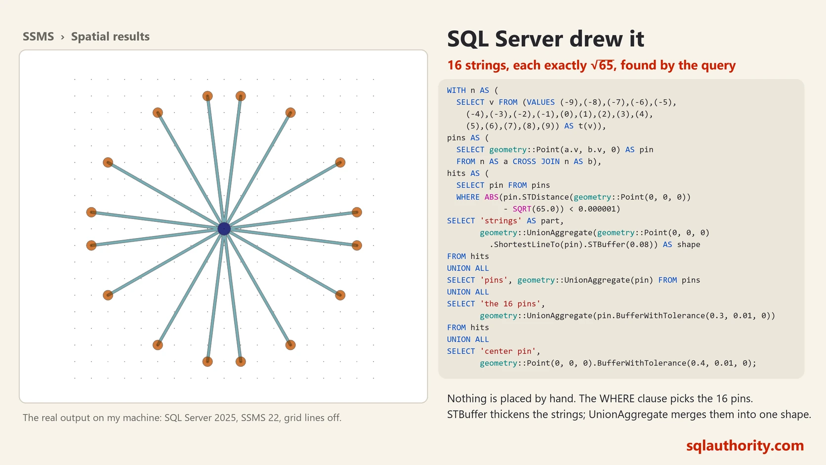
In business we often hear the phrase, “We had a good quarter.” Immediately, we know this means a three month span where sales and profits have been aggregated together for the company. Take a company like Costco that might have $65 billion in total sales during the 4th Quarter (October, November and December). Of course, this total comes not from a single sale of a 65 billon dollar yacht, rather from millions of sales of common items like snacks, drinks, clothes, and light bulbs. We know how to use GROUP BY and SUM to calculate totals and combine similar data. In the case of Costco we group by calendar quarter and then sums on the sales. Although aggregates are commonly used with numbers, they can also be used with spatial land coordinates to assemble them together, much like a jigsaw puzzle. Let us learn about Spatial Unions.
SQL SERVER – Validating Spatial Object as NULL using IsNULL
Follow up questions are the most fun part of writing a blog post. Earlier I wrote about SQL SERVER – Validating Spatial Object with IsValidDetailed Function and today I received a follow up question on the same subject. The question was mainly about how NULL is handled by spatial functions. Well, NULL is…
Read MoreSQL SERVER – Validating Spatial Object with IsValidDetailed Function
What do you prefer – error or warning indicating error may happen with the reason for the error. While writing the previous statement I remember the movie “Minory Report”. This blog post is not about minority report but I will still cover the concept in a single statement “Let us…
Read MoreSQL SERVER – Finding Shortest Distance between Two Shapes using Spatial Data Classes – Ramsetu or Adam’s Bridge
Recently I was reading excellent blog post by Lenni Lobel on Spatial Database. He has written very interesting function ShortestLineTo in Spatial Data Classes. I really loved this new feature of the finding shortest distance between two shapes in SQL Server. Following is the example which is same as Lenni talk on…
Read MoreSQL SERVER – SSRS 2008 R2 – MapGallery – World Map
SQL Server 2008 R2 has negatively integrated ability to work with maps. There are few ways how one can select map and use them in their projects. The one I recently came across was MapGallery. By default SQL Server 2008 R2 is enabled for USA maps. This is quite a common request from developers around the globe that they want the same feature available in their own country.
SQLAuthority News – Speaking Online at Virtual Techdays – Aug 18, 2010 – Spatial Datatypes
I am honored that I have been invited to speak at Virtual TechDays on Aug 18, 2010 by Microsoft. I will be speaking on my favorite subject of Spatial Datatypes. This exclusive Online event will have 30 deep technical sessions per day – and, attendance is completely FREE. There are…
Read MoreSQLAuthority News – SQL Data Camp, Chennai, July 17, 2010 – A Huge Success
I had great pleasure to attend very first SQL Data Camp at Chennai on July 17, 2010. This event was very unique as this was very first one-day SQL Event in whole Indian Subcontinent. The event was blast as there were so many back–to-back SQL Sessions with SQL Server MVPs.…
Read More


.jpg)